![]() ❯
Oxford Caribbean Student's Atlas
❯
Oxford Caribbean Student's Atlas
Oxford Caribbean Student's Atlas

Look inside
Up-to-date and accessible atlas for students aged 11-16
Wilson Wiegand
Suitable for: Ages 11-16, CSEC students
Price: £13.99
+VAT
ISBN:
978-0-19-831080-8
Publication date:
21/07/2011
Pack:
176 pages
Dimensions:
292x225mm
Availability: In stock.


You can use the basket to:
- pay by credit card
- order on account
- forward to a colleague
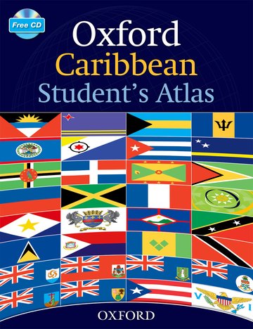
Description
This fresh new atlas includes thematic and topographic maps of the Caribbean, stunning satellite images and map skills to support students aged 11-16. Digital versions of the maps are included on a CD-ROM with each atlas.
This page was last updated on 05 December 2024 at 14:00 GMT
Features
- Satellite images covering Caribbean islands
- Digital versions of the atlas on a CD-Rom
- Perfect companion for the Caribbean Environment
This page was last updated on 05 December 2024 at 14:00 GMT

© 2024 Oxford University Press. All rights reserved.