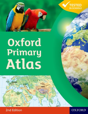
Oxford Primary Atlas
Accessible and informative world atlas for all 7-11 year olds
Editorial Adviser Dr Patrick Wiegand
Suitable for: Ages 7-11 / Key Stage 2 / Yr3-Yr6 / P4-P7 Primary School / Middle School Teachers / Parents / Childminders
Price: £10.99
ISBN:
978-0-19-848017-4
Publication date:
03/03/2011
Paperback:
88 pages
Dimensions:
292x225mm
Availability: In stock.
You can use the basket to:
- pay by credit card
- order on account
- forward to a colleague
Description
The Oxford Primary Atlas is a clear, bright and informative atlas for all 7-11 year olds. It includes up-to-date country data and easy-to-read colourful mapping. It introduces primary school pupils to key geographical themes and topics, matched to curriculum requirements, including landscapes, water, settlements, connections, and environments.
This page was last updated on 21 December 2024 at 20:30 GMT
Features
- Clear thematic atlas for 7-11 year olds at primary school
- Bright and colourful mapping that appeals to pupils and gets them motivated to learn
- Introduces key geographical themes and curriculum topics such as landscapes, water, settlements, connections, and environments
- Includes up-to-date data sets, map literacy and numeracy, and flags of the world at a usable size
- Accessible visual layout based on evidence for children's thinking with maps
- Supports Key Stage 2 geography curriculum requirements
- Hardback and Paperback versions available
- Accompanying Activity Book and e-Atlas CD-ROM to support teachers and pupils
This page was last updated on 21 December 2024 at 20:30 GMT
© 2024 Oxford University Press. All rights reserved.


