![]() ❯
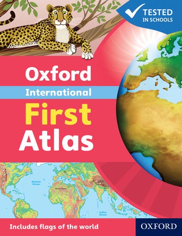
Oxford International First Atlas (2011)
❯
Oxford International First Atlas (2011)
Oxford International First Atlas (2011)
Look inside
Ideal introductory atlas for young children
Editorial Adviser Dr Patrick Wiegand
Suitable for: Ages 3-6
Price: £8.99
ISBN:
978-0-19-848020-4
Publication date:
03/02/2011
Paperback:
32 pages
Dimensions:
240x185mm
Availability: In stock.


You can use the basket to:
- pay by credit card
- order on account
- forward to a colleague
Description
Features
- Simple introductory atlas with a narrative thread
- Bright and colourful mapping that appeals to young children and gets them motivated to learn
- Excellent introduction to maps and finding places in the world to encourage children to talk about local and distant places
- Develops early atlas skills in young learners
- Contains stunning photos and satellite images
- Accessible visual layout based on evidence for young children's thinking with maps
This page was last updated on 13 December 2024 at 17:00 GMT
Table of Contents
Planet Earth
The Earth in space
The Earth is round
Satellite pictures
A globe
The Earth from space
World Maps
Rivers, mountains, deserts
Continents
Animals
Countries
Places to visit
Continents and oceans
Europe
Asia
North America
South America
Africa
Oceania
Antarctica
The Arctic Ocean
Extreme Geography
Word weather records

© 2024 Oxford University Press. All rights reserved.