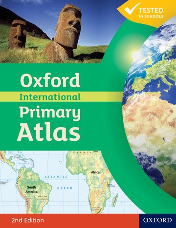
Oxford International Primary Atlas
Accessible and informative world atlas for all primary age children
Editorial Adviser Dr Patrick Wiegand
Suitable for: Ages 7-11
Price: £10.99
ISBN:
978-0-19-848022-8
Publication date:
10/02/2011
Paperback:
80 pages
Dimensions:
292x225mm
Availability: In stock.
You can use the basket to:
- pay by credit card
- order on account
- forward to a colleague
Description
Features
- Clear thematic atlas for all 7-11 year olds
- Bright and colourful mapping that appeals to children and gets them motivated to learn
- Comprehensive topographic coverage of the world and the continents
- Introduces key geographical themes such as landscapes, water, settlements, connections, and environments
- Accessible visual layout based on evidence for children's thinking with maps
- Includes up-to-date data sets, map literacy and numeracy, and flags of the world at a usable size
- Accompanying Activity Book available for independent work to develop map literacy skills
This page was last updated on 17 December 2024 at 14:00 GMT
Table of Contents
Understanding the Earth
Understanding direction
Understanding maps
Understanding land heights
Understanding rivers
Understanding settlements
Understanding satellite images
World
Satellite images
Countries and continents
Land and rivers
Climates
Environments
Environmental problems
People and cities
Connections
Europe
Land and rivers
Countries
The European Union
British Isles
Scandinavia
France
Spain and Portugal
Canary Islands
Middle Europe
Italy and the Balkans
The Mediterranean Sea
Malta
Cyprus
Asia
Land and rivers
Countries
Middle East
India, Pakistan and Bangladesh
China and Japan
South East Asia
Singapore
Hong Kong
Africa
Land and Rivers
Countries
Africa
Egypt
Nigeria
North America
Land and Rivers
Countries
United States of America
Mexico, Central America and the Caribbean
Jamaica, St Lucia, Trinidad and Tobago
South America
Land and Rivers
Countries
South America
Oceania
Land and Rivers
Countries
New Zealand
Australia
The Poles
The Arctic Ocean
Antartica
Country data files
Index
© 2024 Oxford University Press. All rights reserved.


