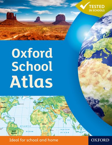
Oxford School Atlas
Accessible and informative world atlas for all 10-14 year olds.
Editorial Advisor Patrick Wiegand
Suitable for: Ages 10-14 / KS3
Price: £12.75
ISBN:
978-0-19-913702-2
Publication date:
31/05/2012
Paperback:
96 pages
Dimensions:
292x225mm
You can use the basket to:
- pay by credit card
- order on account
- forward to a colleague
Description
The most engaging reference atlas for ages 10-14.
This page was last updated on 22 December 2024 at 04:30 GMT
Features
- Presented in an accessible visual layout based on research into how students use maps
- Accessible, colourful, and clearly-labelled maps that are easy to read and enjoy
- Key curriculum themes covered - such as earthquakes and volcanoes, climate, economic activity, and development
- Comprehensive coverage of the British Isles
- Case studies of Italy, Kenya, Brazil, Japan, China, California, the Indian Ocean tsunami, Hurricane Katrina, and Antarctica
- Special sections on atlas literacy and numeracy
- Includes country data and useful internet links
- Stimulating photographs that provide a sense of place
- Fascinating details that encourage students to explore the maps
- Innovative grid codes that make it easy to find places listed in the index
- Satellite images, photographs, and illustrations that aid understanding
- Map keys that provide easy reminders of symbols
- Paperback - a hardback version is also available
This page was last updated on 22 December 2024 at 04:30 GMT
Reviews
- A really excellent atlas. Well laid out and with excellent easily understood information - 5 star Amazon review
- Concise and reliable, easy to use. We have been using this atlas in our bilingual geography classes in Germany for some time now. - 5 star Amazon Review
- A very good school atlas, clearly written and easy to understand, with excellent keys and good scale maps. A very good "all rounder" - 4 star Amazon Review
© 2024 Oxford University Press. All rights reserved.


