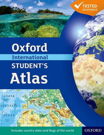
Oxford International Student's Atlas
Accessible and informative world atlas for all 14-18 year olds
Patrick Wiegand
Suitable for: Learners aged 14-18
Price: £16.50
ISBN:
978-0-19-913757-2
Publication date:
12/07/2012
Paperback:
136 pages
Dimensions:
292x225mm
Availability: In stock.
You can use the basket to:
- pay by credit card
- order on account
- forward to a colleague
Description
Build global understanding with this engaging atlas, now updated and even better. This clear, accessible resource covers key curriculum themes to support your teaching and help students prepare for exams.
This page was last updated on 22 December 2024 at 20:30 GMT
Features
- Clear, accessible and colourful maps are easy to read and enjoy, helping your students to find information quickly
- Covers key curriculum themes such as trade, energy and consumption, and tourism - supporting your geography teaching and helping students prepare for exams
- Comprehensive coverage of each continent in the world, including country data, is genuinely relevant to the international classroom
- Up to date content helps keep your teaching relevant
- Maps, graphics, photographs and illustrations make concepts easier to grasp
- Stunning satellite images alongside mapping bring the atlas to life
- Clear grid codes make it easy to find places listed in the index
- Map keys provide easy reminders of symbols
- Internet links to key sites support research
- Supported by the updated Oxford International Student's Atlas Skills Workbook, ideal for the classroom and homework
This page was last updated on 22 December 2024 at 20:30 GMT
© 2024 Oxford University Press. All rights reserved.


