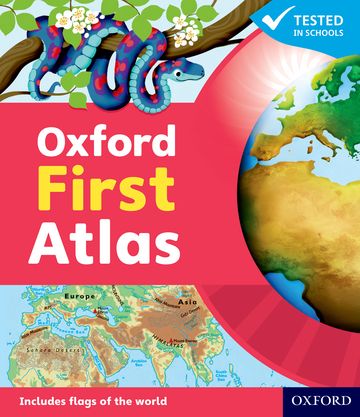
Oxford First Atlas

Ideal atlas for children in their first years at school
Editorial advisor Dr Patrick Wiegand
Suitable for: Ages 5-8
Price: £9.99
ISBN:
978-0-19-848784-5
Publication date:
03/03/2011
Paperback:
48 pages
Dimensions:
255x220mm
Availability: In stock.


You can use the basket to:
- pay by credit card
- order on account
- forward to a colleague
Description
An introductory atlas with a narrative thread, encouraging young children to learn about Planet Earth and places around the world.
This page was last updated on 03 May 2024 at 22:00 GMT
Features
- · Clear and colourful maps of the world, the continents, and British Isles
- · Map keys that provide easy reminders of symbols
- · Accessible, informative text on every page
- · Straightforward symbols that make maps easier to understand
- · Clearly-labelled, uncluttered maps that make maps easier to read and enjoy
- · Generous use of expanded picture keys that emphasise the link between photographs, text, and map symbols
- · An innovative grid for easy location of places and features
- · Questions that encourage children to interrogate the maps
- · Comparator maps of the British Isles to help children understand scale
- Develops early atlas skills in young learners
- Contains stunning photos
- Accessible visual layout based on evidence for young children's thinking with maps
This page was last updated on 03 May 2024 at 22:00 GMT

© 2024 Oxford University Press. All rights reserved.