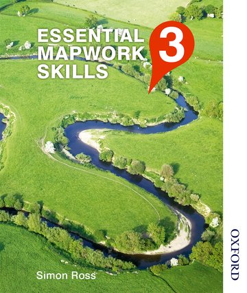
Essential Mapwork Skills 3
Build key geographical skills with Essential Mapwork Skills
Suitable for: GCSE and A Level learners, aged 14-18
Price: £21.99
ISBN:
978-1408521434
Publication date:
23/08/2013
Spiralbound paperback:
128 pages
Dimensions:
276x219mm
Availability: In stock.
You can use the basket to:
- pay by credit card
- order on account
- forward to a colleague
Description
Features
- A unique collection of case study-based activities which uses a variety of thematic, topographical and topological maps, as well as accompanying aerial, ground and satellite photographs
- 30 new case studies from around the world reflect physical, human and issue-based geographical topics
- Suitable for all GCSE and A Level specifications
- Suggested activities progress in difficulty from GCSE to A Level
- High-quality, high-impact maps and photos, including satellite photography, develop student interpretation and map skills
This page was last updated on 16 May 2024 at 20:30 GMT
Reviews
- Very useful additional material for my geography class. - 5 star Amazon review
- Every now and then a marvellous resource comes on to the market which re-affirms one's belief in the publishing industry. This is one such resource. Superbly chosen maps and case studies, engaging questions and activities, and production of real quality, make Essential Mapwork Skills a must for any Geography classroom. - 5 star Amazon review for Essential Mapwork Skills 1
- I have used this book in my geography lessons in the UK and abroad (France). It is an excellent publication full of activities that satisfy the key skills requirements of all GCSE courses and more particularly the iGCSE Cambridge qualification. Purchasing full sets of maps is an expensive business but this book contains extracts throughout to tests students on their ability to interpret relief, height, distance, direction and co-ordinates. It is nice to see that it is not British centred and has international map extracts - again great for iGCSE and as a refresher for IB students - both of whom are required to read and interpret maps other than those produced by OS. All in all, a great buy and well worth the investment. - 5 star Amazon review for Essential Mapwork Skills 1
Table of Contents
1: Tectonics: South America
2: Volcanic eruption: Eyjafjallajokull, Iceland 2010
3: Supervolcano: Yellowstone, USA
4: Earthquake: Haiti 2010
5: Tsunami: Onagawa, Japan 2011
6: Landslide: Morro do Bumba, Brazil 2010
7: Flooding: Cockermouth, Cumbria 2009
8: Flooding: River Indus, Pakistan 2010
9: River landforms: Meanders on the River Severn, Welshpool
10: Waterfall: Kaieteur Falls, Guyana
11: Coastal erosion: Old Man of Hoy, Orkney Islands
12: Coastal deposition: Hurst Castle spit, Hampshire
13: Coastal management: Walton-on-the-Naze, Essex
14: Coastal zone flood management: Alkborough Flats Tidal Defence Scheme, Humber Estuary
15: UK weather: Winter weather, December 2010
16: Hurricane: Hurricane Sandy, 2012
17: Global warming: Shrinking sea ice in the Arctic
18: Limestone: White Scar, Ingleton, North Yorkshire
19: Chalk and clay landscapes: Kensworth Quarry, Chilterns
20: Glaciation: Athabasca Glacier, Canada
21: Coral reef: Buccoo Reef, Tobago
22: Settlement: Queen Elizabeth Olympic Park, London
23: Settlement: Dharavi, Mumbai
24: Globalisation: Global fast food; Starbucks and McDonald's
25: Rural settlement regeneration: Blaenau Ffestiniog, Gwynedd
26: Population: Transmigration; Kalimantan, Indonesia
27: Development: Millennium Village; Gumulira, Malawi
28: Energy resources: Oil Sands, Alberta, Canada
29: Tourism: Tourism in the Lake District; Ambleside
30: Ecotourism: Cotton Tree Lodge, Belize
© 2024 Oxford University Press. All rights reserved.


